
Climate and In-situ Data in Agriculture: Earth Observation Services for Resilient Farming
Adaptation of agricultural activity to both short- and long-term climate change effects is a great challenge.
The Climate adaptation in agriculture application fuses downscaled forecasts with satellite-derived soil and crop indicators to trigger precise, field-level warnings on agricultural drought, precipitation, and soil stress, so that agricultural decisions can be made earlier, with greater confidence.
Pilot area
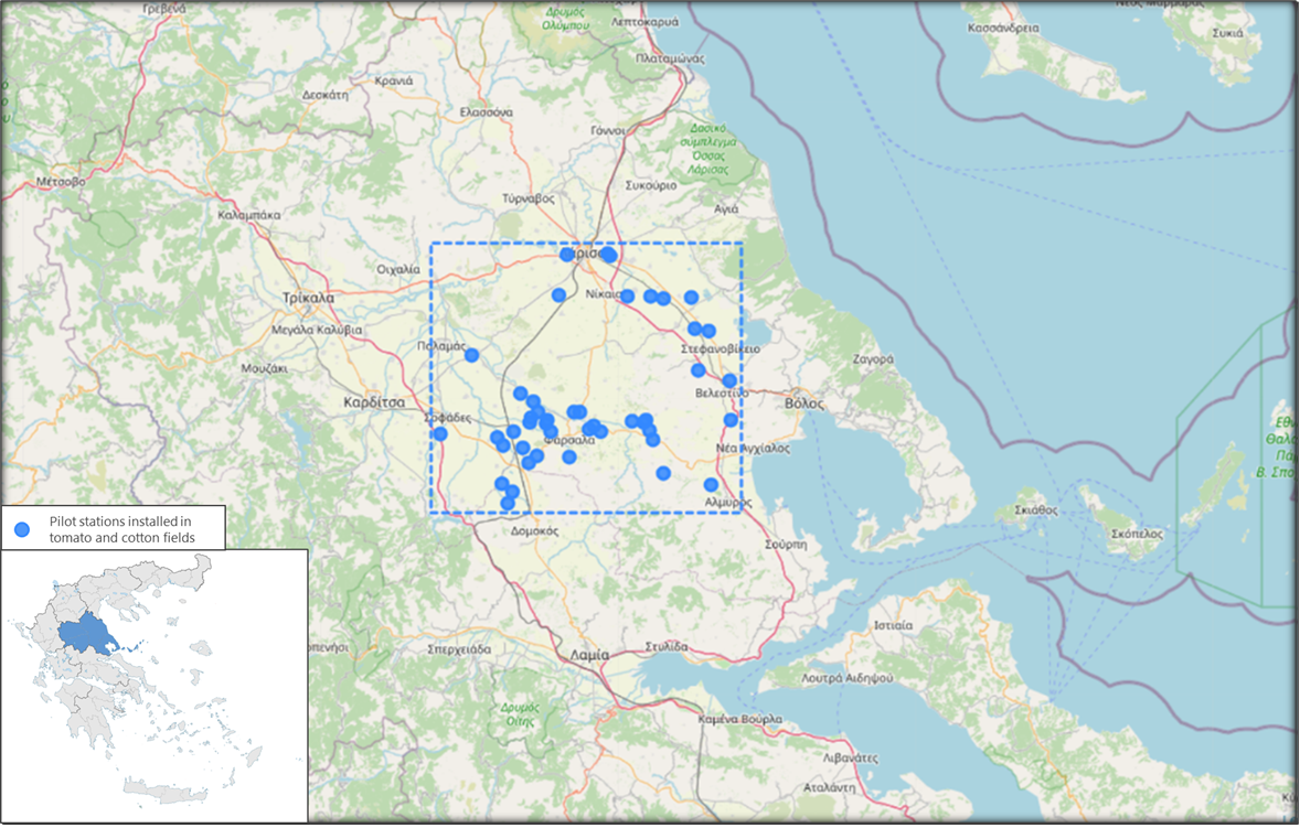
The pilot is conducted in Thessaly (central Greece), leveraging ~45 in-field stations operated by Neuropublic, across tomato and cotton fields. This network underpins calibration, validation, and the co-definition of alert thresholds and specifications with local agronomists and farmers.
This application turns Earth Observation, weather/climate information, and in-field sensor data into field-level alerts for soil-moisture anomalies and crop stress. It focuses on early detection and short-term forecasting, so users can recognise emerging risks (such as drought stress or excess rainfall) before they escalate. Designed with farmers and agronomists, the service refines alert content and visualization through a farmer questionnaire to ensure the format, timing, and delivery channels fit day-to-day needs.
· Geofenced triggering & smart downscaling:
The application activates only when a regional, coarse-scale trigger (e.g., from high-frequency satellite or forecast data) flags elevated risk within the Area of Interest. When that happens, it downscales the information and runs the localized workflows to produce field-level alerts, optimizing both timeliness and efficiency. The localized workflows distinguish among three complementary alert strands: (1a) Extreme precipitation signals, (1b) Drought-related signals, and (2) Soil-moisture anomalies. Together they provide a coherent picture of water-related stress and its short-term evolution at the field scale.
· Co-defined trigger logic: Agronomists help define what constitutes a “bad scenario” for each crop and growth stage, i.e. the threshold combinations (e.g. precipitation intensity/duration + crop + phenological stage, or persistent dryness + temperature), that determine when regional triggers should activate the localized workflows.
· User-interpreted alerts: The application provides timely detection and forecasting signals that inform decisions, while farmers and advisors interpret the alerts within their local practices and constraints. The final delivery and visualization choices (dashboards, push notifications, summaries) are being validated through farmers’ involvement.
Objectives
The application aims to:
· detect and forecast soil-moisture anomalies and crop-stress signals at field scale,
· fuse satellite, weather/climate and in-situ observations into robust indicators.
· deliver clear alerts through the CLEAR-EO platform
· ensure interoperability with European programmes and data spaces
Partners & roles
NEUROPUBLIC (NP): Leads APP2 development, coordinates co-design with farmers, and utilizes its extensive in-field sensor network. LINKS: Advances the use of MSG/MTG-derived vegetation information to assess effectiveness and supports integration of the application workflows within the shared platform. DMI: Brings severe-weather expertise and supports geospatial alerting for extreme-rainfall and drought-related signals. ECMWF: Contributes forecast and notification capabilities that underpin reliable, geofenced triggering and alert delivery. SISTEMA: Enables deployment and integration of APP2 components within the common data space and supports validation of triggering factors and outcomes.
Stakeholders
· Farmers, agronomists, farm-advisory services
· Agricultural cooperatives, suppliers
· Civil protection, environmental agencies
· Research and innovation networks
Data sources
The application combines a variety of EO and other data: Copernicus Sentinel-2 (optical) and, where useful, Sentinel-1 (radar), European meteorological satellite products (e.g. MSG/MTG) for high-frequency context, weather and climate information from recognised providers, in-situ sensor data from NP’s network for calibration/validation, and ancillary farm data such as field boundaries and phenology calendars.