The Air quality in urban areas application enhances air quality forecasts by integrating satellite observations with advanced models like CHIMERE and machine learning to provide more accurate and detailed predictions of aerosol pollution.
Air quality forecast
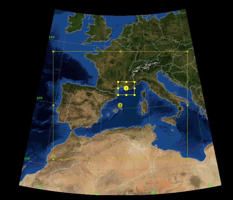
Air quality monitoring and modelling application integrates Earth observation data with advanced simulation tools. The system combines the WRF meteorological model and the CHIMERE chemistry-transport model to analyse and forecast air pollution across Europe and in high detail over Marseille. (see map above)
The modelling chain operates on two domains: a European scale (10–30 km) providing large-scale transport and boundary conditions, and a high-resolution domain over Marseille (1–3 km) capturing local emission dynamics from traffic, industry, maritime activities, and dust events.
Using EDGAR emissions for the European domain and AtmoSud inventories for Marseille, and driven by CAMS global forecasts, the application will deliver high-quality data and insights on air pollutant behaviour.
This pilot application showcases how CLEAR-EO supports urban air quality management and evidence-based environmental policies through the integration of Earth observation, modelling, and data services.
CLEAR-EO partners involved: SUEZ ARIA, UPEC, and SISTEMA
- Stakeholders:
By actively participating in the dissemination of results to end users, AtmoSud (Air Quality network for the South East region of France) contributes to the broader accessibility and applicability of the forecasting system, extending its impact beyond the consortium to a diverse range of stakeholders, scientific communities, and potential beneficiaries.
- Dataset:
Datasets coming from different sources will be processed and optimised for Machine learning applications. The combination of Sentinel-5 precursor, Sentinel-5 and Sentinel-4 (respectively S5P, S5 and S4) will provide more data about the chemical species and aerosols and their vertical distribution with an unprecedented temporal resolution.