bente
-
CLEAR-EO webinar on air quality
From Measurements to Forecasts: The Role of Earth Observation in Air Quality Monitoring The CLEAR-EO Air Quality Webinar explores how satellite observations, ground-based measurements, atmospheric modelling, and AI-driven analytics are transforming urban air quality monitoring and forecasting. Bringing together experts from the CLEAR-EO consortium and leading research organizations, the webinar highlights how Earth observation data…
-
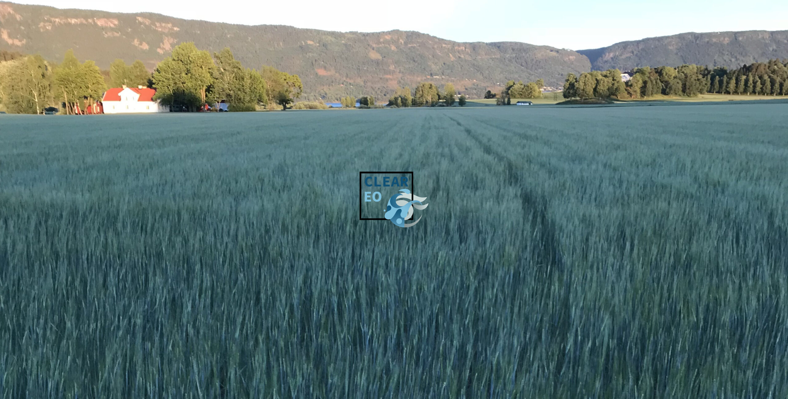
CLEAR-EO Webinar on climate & agriculture
The webinar brings together experts from Earth observation, smart farming, policy, and global monitoring. It is covering the full spectrum from field-level farmer experiences and IoT-enabled services to satellite-based early warning systems and European and global agricultural resilience frameworks
-

CLEAR-EO Webinar on meteorology & AI
From global observations to local impact—this CLEAR-EO webinar explores how meteorological data is transformed into actionable Earth intelligence. Discover how WMO systems, ECMWF’s DestinE infrastructure, and emerging AI approaches are enabling better forecasting, improved flood modelling, and more resilient decision-making across sectors.
-
CLEAR-EO at Agrotica 2026
CLEAR-EO showcased how Earth observation and in-situ data can be translated into actionable, field-level services for agriculture, engaging farmers and stakeholders at Agrotica 2026 to co-design climate resilience solutions
-
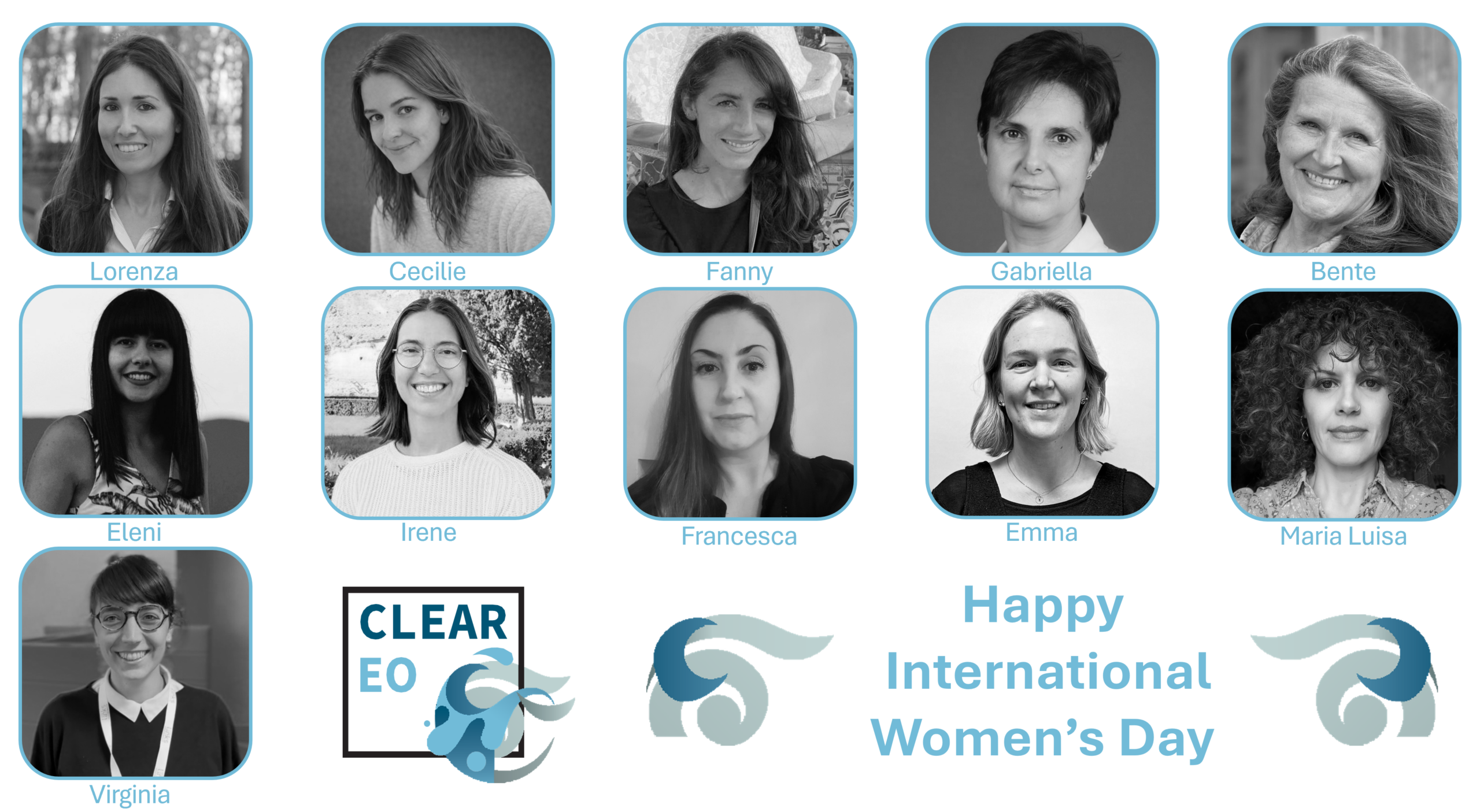
International Women’s Day: Highlighting the Women of CLEAR-EO
On International Women’s Day, CLEAR-EO celebrates the many women contributing their expertise to the project. Around 50% of the consortium’s experts are women, working across Earth observation, data science, climate services, and environmental intelligence.
-
CLEAR-EO Webinar on UAVs for urban flooding
From Satellite to Street Level: Enhancing Flash Flood Intelligence with Drone Data Unmanned Aerial Vehicles (UAVs), commonly referred to as drones, are increasingly used in urban flooding for rapid assessment, high-resolution mapping, modelling calibration, and infrastructure inspection. For projects like CLEAR-EO where satellite, in-situ, and application layers must interoperate, drones fill a critical “hyper-local gap”…
-
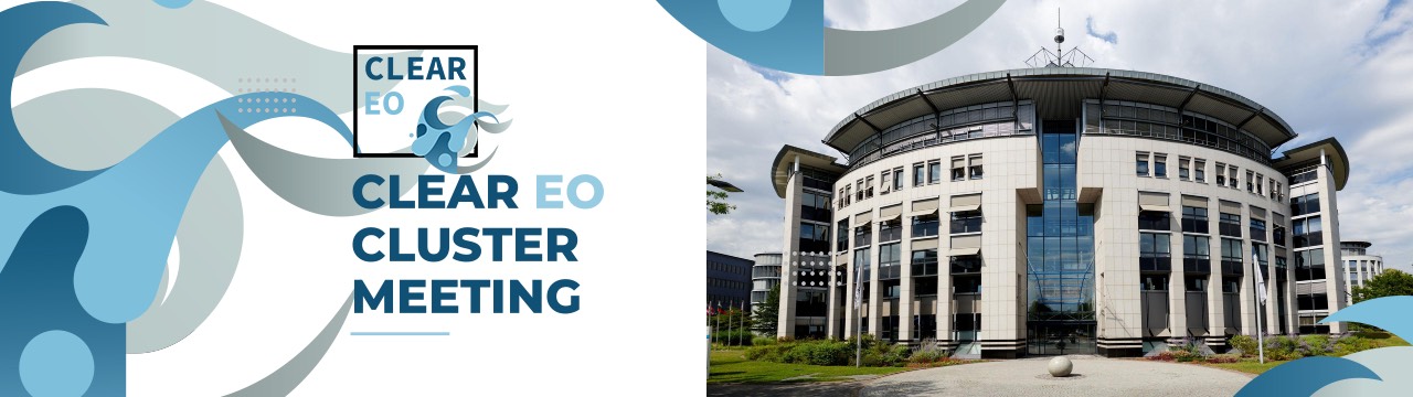
CLEAR-EO in the European Earth Observation Innovation Cluster
The EUMETSAT cluster meeting in Darmstadt, gathers CLEAR-EO and the sibling projects PANORAMA and GreenEO to strengthen collaboration on innovative Earth observation applications supporting the European Green Deal. The two-day event focus on transforming meteorological and Copernicus satellite data into trusted, user-driven Earth intelligence through AI, robust data quality, and close alignment with European policies.